¡No dejes pasar las últimas ofertas! Hasta 50% OFF + 3 cuotas sin interés  Ver más

Enviar a
C.A.B.A., Ciudad Autónoma de Buenos Aires
0
  • argentina
  • chile
  • colombia
  • españa
  • méxico
  • perú
  • estados unidos
  • internacional

Selecciona tu país

América

Europa

Resto del mundo

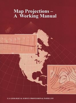
portada Map Projections: A Working Manual (U.S. Geological Survey Professional Paper 1395) (en Inglés)
Formato
Libro Físico
Idioma
Inglés
N° páginas
406
Encuadernación
Tapa Dura
Dimensiones
28x21.6x2.4 cm
Peso
1.22 kg.
ISBN13
9781839310218

Map Projections: A Working Manual (U.S. Geological Survey Professional Paper 1395) (en Inglés)

John P. Snyder (Autor) · www.Militarybookshop.Co.UK · Tapa Dura

Map Projections: A Working Manual (U.S. Geological Survey Professional Paper 1395) (en Inglés) - Snyder, John P.

Libro Nuevo Importado
Envío: 16 a 21 días háb.
$ 278.818$ 139.409
-50%
Costos de importación incluídos en el precio ✅
Libro Nuevo

Quedan más de 100 unidades

$ 139.409
Llega entre el 22 Sep y el 29 Sep a C.A.B.A., Ciudad Autónoma de Buenos Aires. Seleccionar ubicación

Reseña del libro "Map Projections: A Working Manual (U.S. Geological Survey Professional Paper 1395) (en Inglés)"

After decades of using only one map projection, the Polyconic, for its mapping program, the U.S. Geological Survey (USGS) now uses several of the more common projections for its published maps. For larger scale maps, including topographic quadrangles and the State Base Map Series, conformal projections such as the Transverse Mercator and the Lambert Conformal Conic are used. Equal-area and equidistant projections appear in the National Atlas. Other projections, such as the Miller Cylindrical and the Van der Grinten, are chosen occasionally for convenience, sometimes making use of existing base maps prepared by others. Some projections treat the Earth only as a sphere, others as either ellipsoid or sphere. The USGS has also conceived and designed several new projections, including the Space Oblique Mercator, the first map projection designed to permit mapping of the Earth continuously from a satellite with low distortion. The mapping of extraterrestrial bodies has resulted in the use of standard projections in completely new settings. Several other projections which have not been used by the USGS are frequently of interest to the cartographic public. With increased computerization, it is important to realize that rectangular coordinates for all these projections may be mathematically calculated with formulas which would have seemed too complicated in the past, but which now may be programmed routinely, especially if aided by numerical examples. A discussion of appearance, usage, and history is given together with both forward and inverse equations for each projection involved.

Opiniones del libro

Preguntas frecuentes sobre el libro

Todos los libros de nuestro catálogo son Originales.
El libro está escrito en Inglés.
La encuadernación de esta edición es Tapa Dura.

Preguntas y respuestas sobre el libro

¿Tienes una pregunta sobre el libro? Inicia sesión para poder agregar tu propia pregunta.

Opiniones sobre Buscalibre

Ver más opiniones de clientes