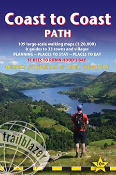
Coast to Coast Path: British Walking Guide: - St Bees to Robin Hood's Bay Includes 109 Large-Scale Walking Maps (1:20,000) & Guides to 33 T (en Inglés)
Reseña del libro "Coast to Coast Path: British Walking Guide: - St Bees to Robin Hood's Bay Includes 109 Large-Scale Walking Maps (1:20,000) & Guides to 33 T (en Inglés)"
All-in-one, practical guide to walking the Coast to Coast Path across northern England inspired by Alfred Wainwright, the most popular of the 18 long-distance UK paths. Fully revised 9th edition of this classic 191-mile walk from the Irish Sea to the North Sea. Crossing three national parks - the Lake District, the Yorkshire Dales, and the North York Moors - it samples the very best of the English countryside - rugged mountains and lakes, gentle dales and stone-built villages; wild moorland; sea cliffs and fishing villages. The guide includes: Booking & Getting to the UK - information for US travelers109 large-scale walking maps - at just under 1:20,000 - showing route times, places to stay, places to eat, points of interest, and 9 town plans. 14 color stage maps to help plan your walk, including hills and descents and trail profiles. Places to stay with reviews - campsites, bunkhouses, hostels, B&Bs, pubs and hotels. Places to eat with reviews - cafes, teashops, pubs, takeaways, restaurants. What to see from the path - history, culture, natural history. Comprehensive public transport information - for all access points on the path. Flora and fauna - four page full color flower guide, plus an illustrated section on local wildlife. Itineraries for all walkers - whether walking the route in its entirety over two weeks or sampling the highlights on day walks and short breaks. Green hiking - understanding the local environment and minimizing our impact on it. GPS waypoints and complete track log - also downloadable from the Trailblazer website page

