
Enviar a
C.A.B.A., Ciudad Autónoma de Buenos Aires
Selecciona tu ubicación
Los costos de envío se calcularán en base a esta dirección en todo el sitio.
Los costos de envío se calcularán en base a esta dirección en todo el sitio.
Selecciona tu país
América
Argentina
Brasil
Canadá
Chile
Colombia
Costa Rica
Ecuador
El Salvador
Estados Unidos
México
Perú
República Dominicana
Uruguay
Europa
Alemania
Austria
Bélgica
Croacia
Dinamarca
Eslovaquia
Eslovenia
España
Finlandia
Francia
Grecia
Hungría
Irlanda
Italia
Letonia
Malta
Noruega
Países Bajos
Polonia
Portugal
Reino Unido
República Checa
Serbia
Suecia
Suiza
Resto del mundo
")
Canada West: Travel Maps International Adventure Map (en Inglés)
National Geographic Maps
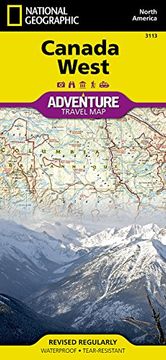
Canada West: Travel Maps International Adventure Map (en Inglés)
National Geographic Maps (Autor) · National Geographic Maps · Mapa
Quedan 50 unidades
$ 46.167Canada West: Travel Maps International Adventure Map (en Inglés)
National Geographic Maps
¿Tienes una pregunta sobre el libro? Inicia sesión para poder agregar tu propia pregunta.